Archive for the ‘Tropical storms’ Category

IMELDA MOVING FARTHER INLAND… …HEAVY RAINS AND LIFE-THREATENING FLASH FLOODING WILL CONTINUE TO SPREAD INLAND OVER SOUTHEAST TEXAS DURING THE NEXT DAY OR TWO
Wednesday, September 18th, 2019![[Key Messages]](https://www.nhc.noaa.gov/storm_graphics/AT11/refresh/AL112019_key_messages+png/024933_key_messages_sm.png)
![[Key Messages]](https://www.nhc.noaa.gov/storm_graphics/AT09/refresh/AL092019_key_messages+png/030116_key_messages_sm.png)
HUMBERTO CONTINUES TO STRENGTHEN… …LARGE SWELLS AFFECTING MUCH OF THE SOUTHEASTERN UNITED STATES COASTLINE
Monday, September 16th, 2019![[Image of probabilities of 34-kt winds]](https://www.nhc.noaa.gov/storm_graphics/AT09/refresh/AL092019_wind_probs_34_F120+png/084821.png)


![[Image of probabilities of 34-kt winds]](https://www.nhc.noaa.gov/storm_graphics/AT09/refresh/AL092019_wind_probs_34_F120+png/085723.png)

POTENTIAL TROPICAL CYCLONE NINE
Friday, September 13th, 2019
000
WTNT34 KNHC 130857
TCPAT4
BULLETIN
Potential Tropical Cyclone Nine Advisory Number 3
NWS National Hurricane Center Miami FL AL092019
500 AM EDT Fri Sep 13 2019
…TROPICAL DISTURBANCE MOVING NORTHWESTWARD OVER THE CENTRAL
BAHAMAS…
…TROPICAL STORM WATCH EXTENDED NORTHWARD ON THE FLORIDA
PENINSULA…
SUMMARY OF 500 AM EDT…0900 UTC…INFORMATION
———————————————-
LOCATION…24.6N 75.2W
ABOUT 255 MI…410 KM ESE OF FREEPORT GRAND BAHAMA ISLAND
ABOUT 170 MI…275 KM SE OF GREAT ABACO ISLAND
MAXIMUM SUSTAINED WINDS…30 MPH…45 KM/H
PRESENT MOVEMENT…NW OR 315 DEGREES AT 6 MPH…9 KM/H
MINIMUM CENTRAL PRESSURE…1009 MB…29.80 INCHES
WATCHES AND WARNINGS
——————–
CHANGES WITH THIS ADVISORY:
A Tropical Storm Watch has been issued from the Volusia-Brevard
County line to the Flagler-Volusia County line.
SUMMARY OF WATCHES AND WARNINGS IN EFFECT:
A Tropical Storm Warning is in effect for…
* Northwestern Bahamas excluding Andros Island
A Tropical Storm Watch is in effect for…
* Jupiter Inlet to Flagler-Volusia County line
A Tropical Storm Warning means that tropical storm conditions are
expected somewhere within the warning area within 36 hours.
A Tropical Storm Watch means that tropical storm conditions are
possible within the watch area, generally within 48 hours.
Interests elsewhere along the east coast of Florida should monitor
the progress of this system. Additional watches and warnings may
be required for portions of this area later today.
For storm information specific to your area in the United States,
including possible inland watches and warnings, please monitor
products issued by your local National Weather Service forecast
office. For storm information specific to your area outside of the
United States, please monitor products issued by your national
meteorological service.
DISCUSSION AND OUTLOOK
———————-
At 500 AM EDT (0900 UTC), the disturbance was centered near latitude
24.6 North, longitude 75.2 West. The system is moving toward the
northwest near 6 mph (9 km/h), and this general motion is expected
to continue with some increase in forward speed through the
weekend. On the forecast track, the system is anticipated to move
across the central and northwestern Bahamas today, and along or
over the east coast of Florida Saturday and Saturday night.
Maximum sustained winds are near 30 mph (45 km/h) with higher gusts.
Some strengthening is forecast during the next 48 hours, and the
disturbance is forecast to become a tropical depression or a
tropical storm during the next day or so.
Environmental conditions are favorable for a tropical depression or
tropical storm to form within the next day or two.
* Formation chance through 48 hours…high…80 percent
* Formation chance through 5 days…high…90 percent
The estimated minimum central pressure is 1009 mb (29.80 inches).
HAZARDS AFFECTING LAND
———————-
WIND: Tropical storm conditions are expected within the warning
area in the northwestern Bahamas later today. Tropical storm
conditions are possible in the watch area on the Florida peninsula
by Saturday or Saturday night.
RAINFALL: The potential tropical cyclone is expected to produce
total rainfall accumulations through Sunday:
The Bahamas…2 to 4 inches, isolated maximum amounts 6 inches.
The U.S. Southeast Coast from central Florida into South
Carolina…2 to 4 inches.
STORM SURGE: This system is not expected to product significant
storm surge in the northwestern Bahamas.
NEXT ADVISORY
————-
Next intermediate advisory at 800 AM EDT.
Next complete advisory at 1100 AM EDT.
$$
Forecaster Beven
Hurricane Gilbert slams into Jamaica, killing hundreds of people, on September 12, 1988.
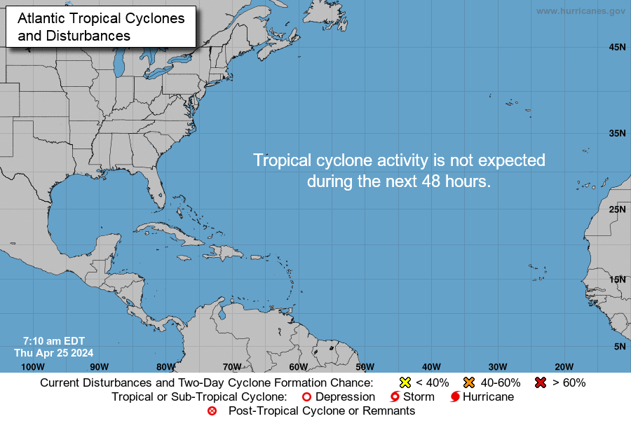
Thursday, September 12th, 2019Atlantic 2-Day Graphical Tropical Weather Outlook
Thursday, September 12th, 2019
ZCZC MIATWOAT ALL
TTAA00 KNHC DDHHMM
Tropical Weather Outlook
NWS National Hurricane Center Miami FL
200 AM EDT Thu Sep 12 2019
For the North Atlantic…Caribbean Sea and the Gulf of Mexico:
1. A trough of low pressure is producing widespread cloudiness,
showers, and thunderstorms that extend from the southeastern
Bahamas northeastward over the adjacent Atlantic waters. Although
limited development of this system is anticipated today, conditions
are forecast to become a little more conducive for tropical cyclone
formation over the weekend, and a tropical depression is likely to
form as the system moves northwestward at 5 to 10 mph across the
Florida Straits and southern Florida, and into the eastern Gulf
of Mexico. This disturbance will likely produce periods of locally
heavy rainfall and gusty winds across the Bahamas through Friday,
and across Florida during the weekend. An Air Force Reserve
reconnaissance aircraft is scheduled to investigate the system
this afternoon, if necessary.
* Formation chance through 48 hours…medium…50 percent.
* Formation chance through 5 days…high…70 percent.
2. A tropical wave located just west of the Cabo Verde Islands is
producing a small area of disorganized showers and thunderstorms.
Conditions appear conducive for development of this system, and a
tropical depression could form early next week while it moves
westward over the tropical Atlantic toward the Lesser Antilles.
* Formation chance through 48 hours…low…near 0 percent.
* Formation chance through 5 days…medium…40 percent.
Forecaster Berg
