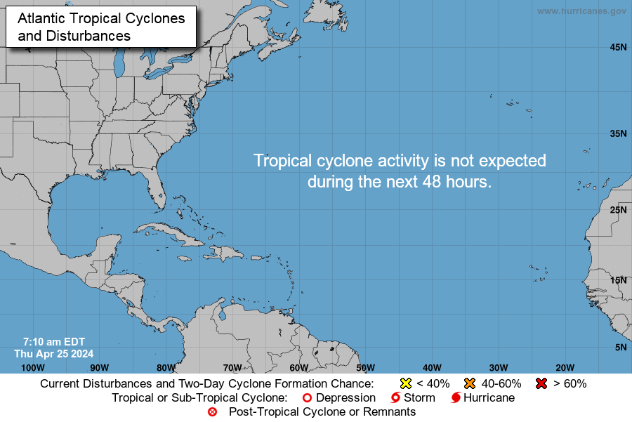
A disturbance in the Gulf
June 4th, 2019

000
ABNT20 KNHC 041134
TWOAT
Tropical Weather Outlook
NWS National Hurricane Center Miami FL
800 AM EDT Tue Jun 4 2019
For the North Atlantic…Caribbean Sea and the Gulf of Mexico:
Shower and thunderstorm activity associated with a broad area of low
pressure located over the southwestern Gulf of Mexico has decreased
since yesterday and remains disorganized. This system could briefly
become a tropical depression before moving inland over northeastern
Mexico later today or tonight. Regardless of development, the
disturbance will likely produce heavy rainfall over portions of
eastern Mexico, southeastern Texas and the Lower Mississippi Valley
during the next few days. An Air Force Reserve reconnaissance
aircraft is scheduled to investigate the disturbance later today, if
necessary. Interests along the Gulf coast of Mexico should monitor
the progress of this system. For more information about the
rainfall threat in the United States, please see products issued by
your local forecast office and the Weather Prediction Center.
* Formation chance through 48 hours…medium…40 percent.
* Formation chance through 5 days…medium…40 percent.
$$
Forecaster Zelinsky

