Global & Disaster Medicine

Archive for the ‘Weather’ Category

Central Great Lakes sector loop

Northeast sector loop

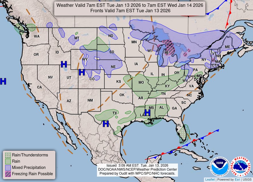
National Weather Outlook


Electricity was restored Sunday to tens of thousands of customers (affected 140,000 customers at its worst) who lost service when a power station in suburban Los Angeles caught fire amid a blistering heat wave.

ABC


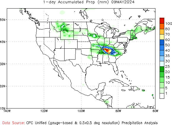
US Precipitation Map

Daily (most recent day) Total Precipitation (millimeters)


A potent spring storm system with abundant moisture will bring a chance of significant severe weather and heavy rain today into tonight. Damaging winds, large hail, and a couple of tornadoes will be possible across the Tennessee Valley, middle Ohio Valley, and portions of the Mid-Atlantic. Heavy rain and flooding are possible from the Ozarks to the Tennessee Valley.


National Weather Outlook

SPC Products Overview

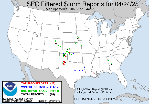
today Filtered Reports Graphic


An outbreak of severe thunderstorms is expected across parts of the southern and central Plains this afternoon and evening through the overnight hours. Strong, long-track tornadoes are likely from parts of central and southern Kansas southward into western Oklahoma. Large hail, damaging winds, and flash flooding will also be possible for a larger portion of the southern and central Plains.

NWS

National Weather Outlook

SPC Products Overview

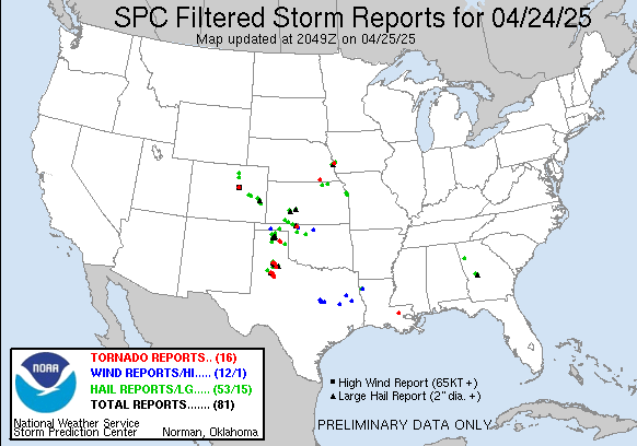
yesterday Filtered Reports Graphic


It’s coming, folks!

National Weather Outlook

Central Great Lakes sector loop

Northeast sector loop


Weather: Here, There, and Everywhere

Central Great Lakes sector loop

National Weather Outlook

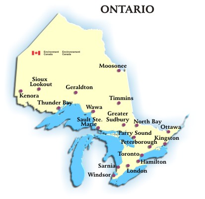
Ontario


An atmospheric river event will move into California and then spread across the rest of the western states through this weekend. Heavy lower elevation rains could produce localized flash flooding, and 1-3 feet of snow above 5500 feet will likely impair mountain travel. In addition, strong winds in excess of 60 mph down trees and power lines, and create hazardous driving for high profile vehicles.

today Filtered Reports Graphic

SPC Products Overview


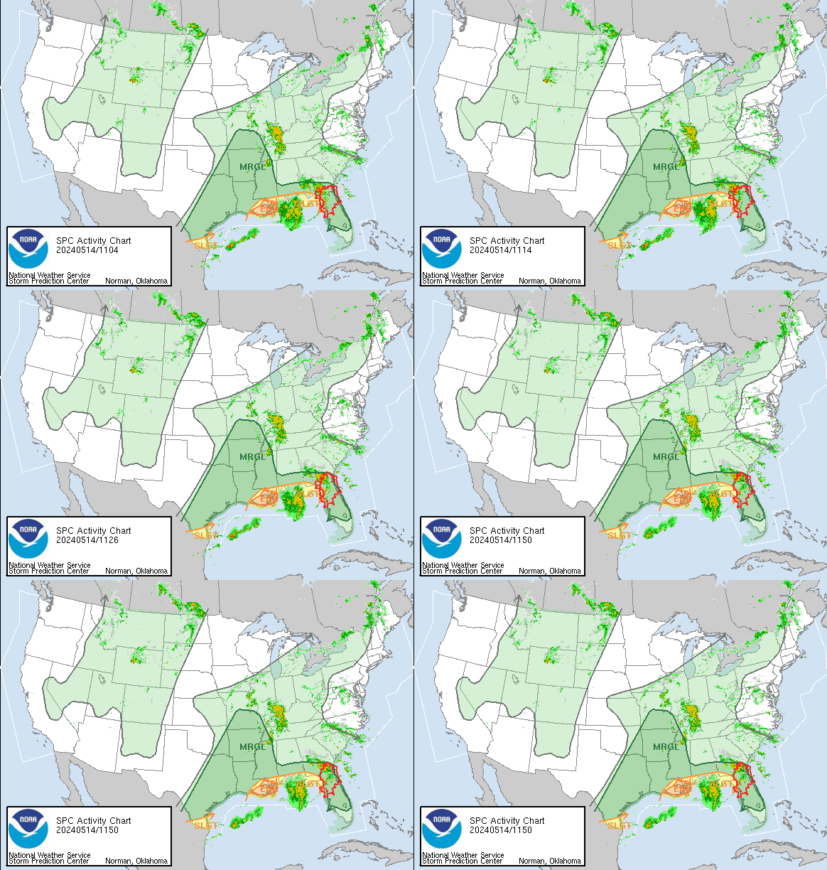
NWS: Scattered to numerous severe thunderstorms are expected across the Lower Mississippi and Ohio Valleys into the Tennessee Valley this afternoon and evening. Very large hail, damaging winds, and a couple tornadoes will be possible.


SPC Products Overview
today Reports Graphic

From FEMA: Yesterday’s record snowfall and wind gusts

Heaviest snowfall totals as of 3:00 pm EDT Tuesday:

• 24.0 inches at Dingmans Ferry, Mount Pocono and Beach Lake, PA

• 22.5 inches at Jefferson, NY

• 18.0 inches at North Granby, CT

• 17.5 inches at Sussex, NJ

• 16.0 inches at Huntington, MA

• 13.0 inches at Smith Crossroads, WV

• 12.0 inches at Burrillville, RI • 10.6 inches near New Boston, NH

• 10.0 inches near Cumberland, Frederick and Ridgeley, MD

• 9.5 inches at Newfane, VT

• 8.1 inches near Winchester, VA

• 7.5 inches near Steep Falls, ME

• 4.0 inches near Newark, DE

• 3.1 inches at Washington National Airport

Strongest peak wind gusts as of 3:00 pm EDT Tuesday:

• 85 mph at Pittsfield Municipal Airport, MA

• 68 mph at Orient, NY

• 65 mph at Seaside Heights, NJ

• 61 mph near Dunn Landing, RI

• 60 mph at Dover Air Force Base, DE


Categories

Recent Posts

Archives

Admin